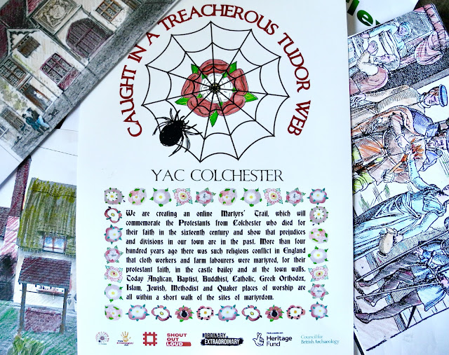
How the Tudor web stretched over Essex

Young archaeologists adapted a map from more than 400 years ago to show the reach of the deadly persecutions of protestants in the county. They replaced symbols of their own archaeological and historical interests in heraldic shields and put their club, project, and county logos in medallions. They coloured in the woodlands, sea and estuaries and highlighted the towns and villages where it was known the protestant martyrs lived. Their instructions were carefully followed by a graphic artist. One of our YAC volunteers worked diligently on a google map.


Comments
Post a Comment